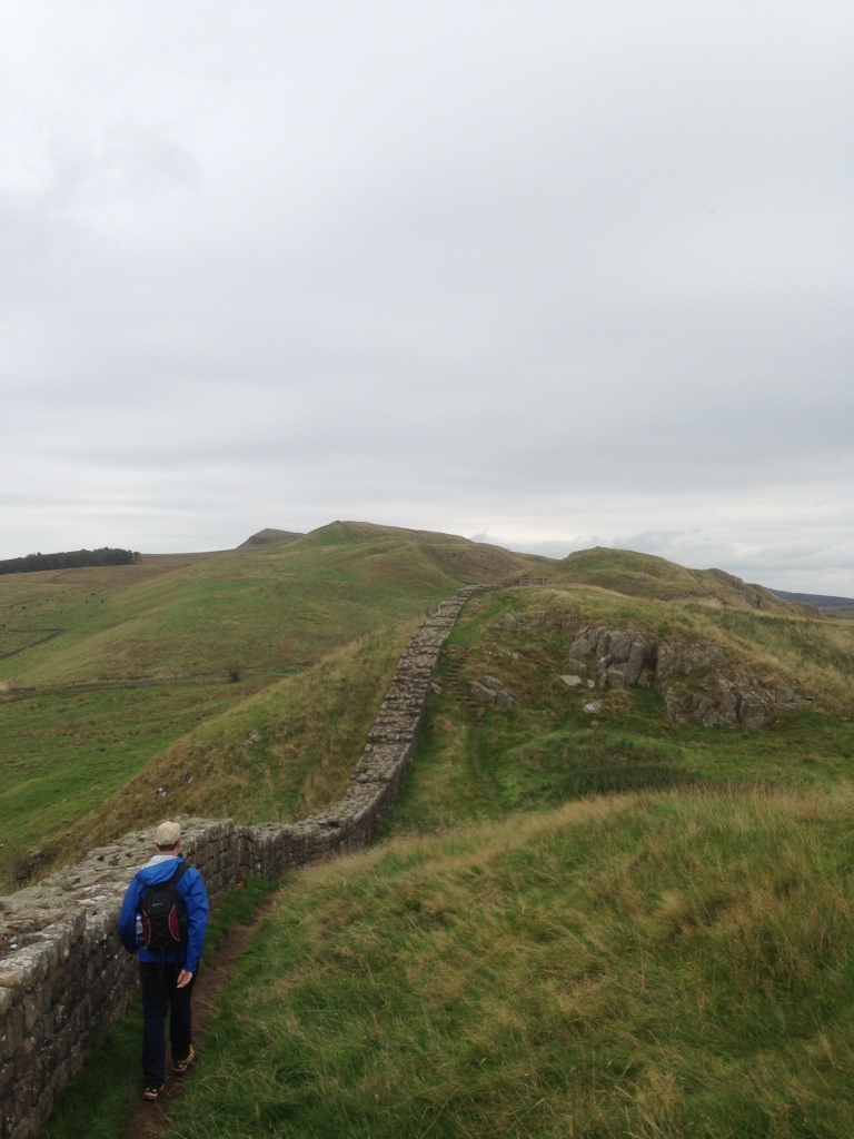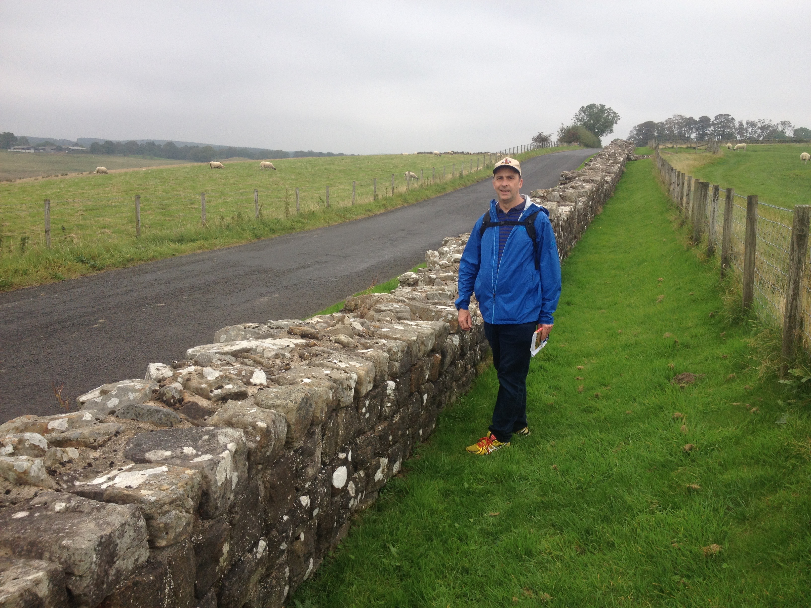
Hadrian’s Wall undulating over the English countryside.
I love a good map and I especially find transit maps to be very absorbing. I am not sure what the official term for this “condition” is. Any thoughts?
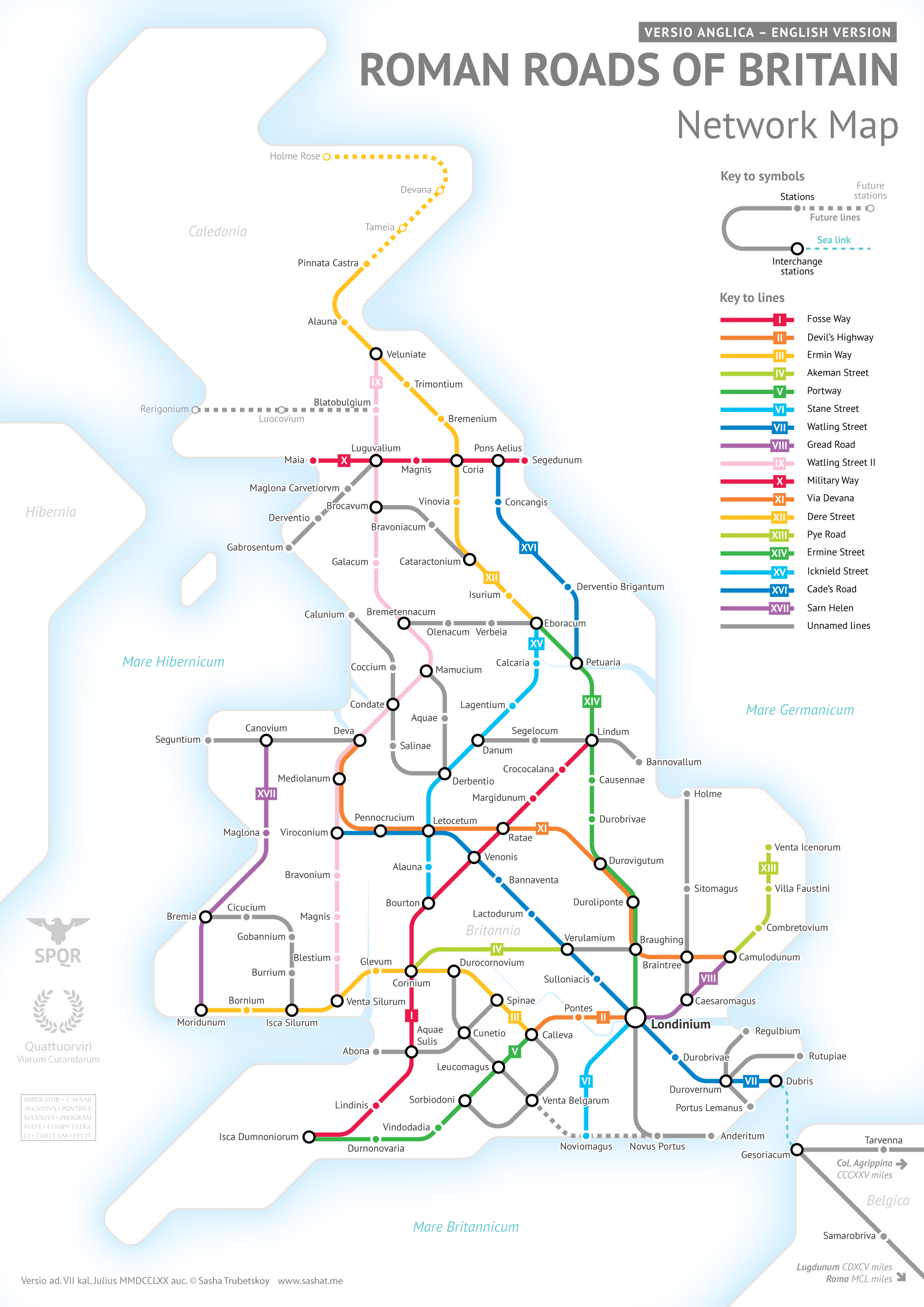
 I was fascinated to find that Cartographer Sasha Trubetsko (pictured left) has created a map of the old Roman roads that crisscrossed Britain. The map is in the form of a transit style map! I love it.
The Romans built a massive network of roads across Britain (except in Scotland which they could never quite conquer!). The roads allowed them to transport troops, goods and people across their territory. Some roads became modern paths and some even form the foundation of some of the UK’s modern roads.
You can order a high res version of the poster for only $US9 which you can turn into your very own poster. I have ordered one as a holiday gift.
I have walked along the route of Hadrian’s Wall which is Roman Road X (10) on Sasha’s map from Maia (now Bowness on Solway) to Segedunum (now Wallsend). It took just under a week and we had glimpses of sections of both the wall and the road as well as the remains of some of the Roman settlements along the road.

Not every day you get to walk along 2000 year old wall! (Route X)
The route of the current A2 motorway in the UK follows a similar route to that of line VII (7) which connected Londinum (London) with Durovernum Cantiacorum (Canterbury) and their three Channel ports: Rutupiae ( Richborough), Dubris (Dover) and Portus Lemanis (Lympne).
The A3 runs over some of Line VI (6). The same line runs under part of the A24 and A29.
It is fascinating to know that as you zip along a modern motorway, a mere 2000 years ago charioteers were using the same route.
The Verdict
This is simply wonderful. Thanks Sasha for bringing some history alive!
Related Posts


An odd question here, but isn’t the wall supposed to be much wider?
Hi Christian, The wall in some places vanishes completely and in other places it is much more structurally intact. Check out my blog post on the wall: http://wildabouttravel.boardingarea.com/2015/01/hiking-hadrians-wall-walk-across-england/