
The Verdict:
- My Overall Rating: 83% -High Score
- My Ranking: My favourite place in Thailand
- Why it should be visited: Views, birds, hiking, peace and quiet, waterfalls, caves
- Negatives: Transport options limited
- Would I return?: Yes. For a slower pace in a quieter place, it was a wonderful place to be.
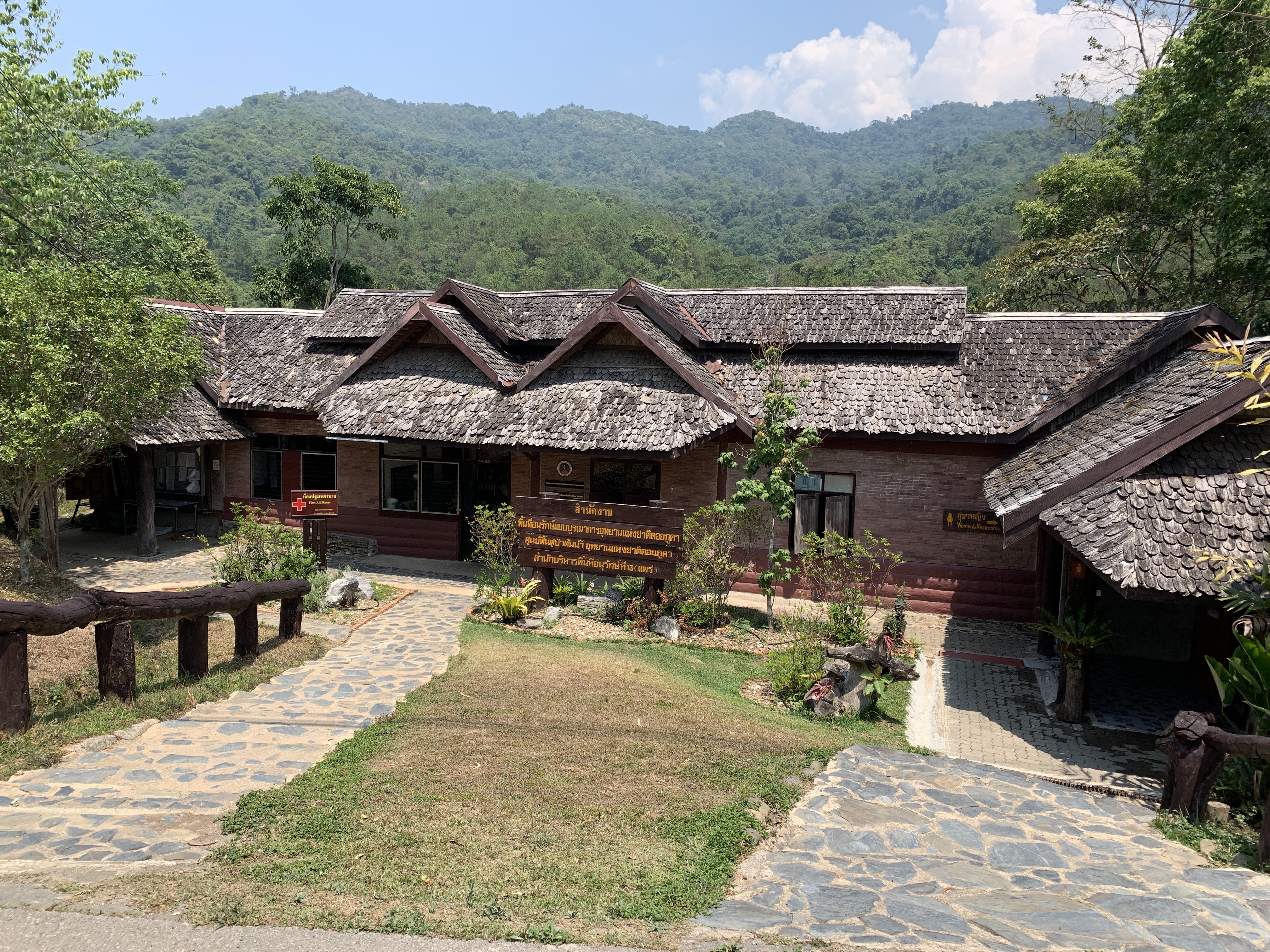
Location and Orientation
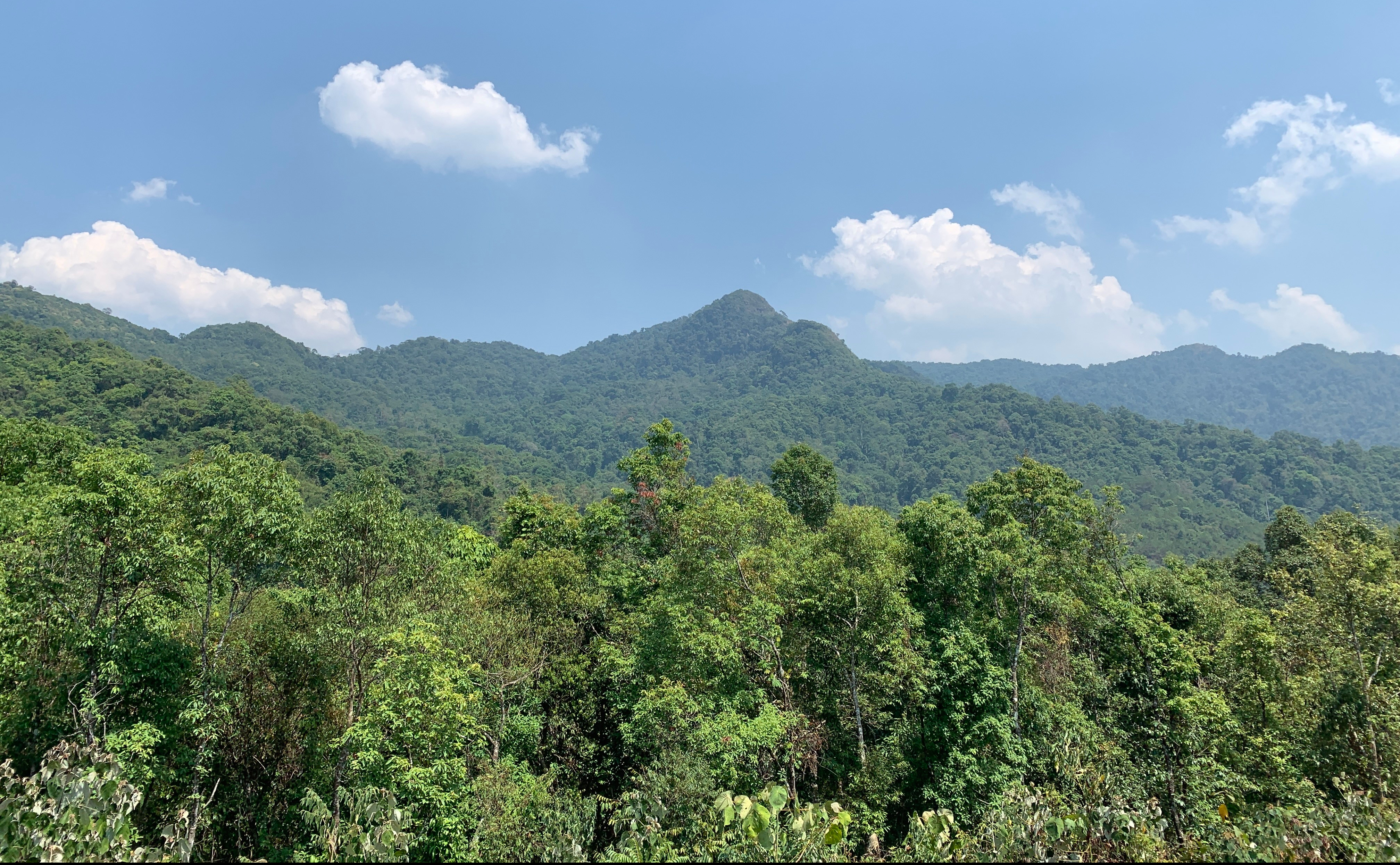
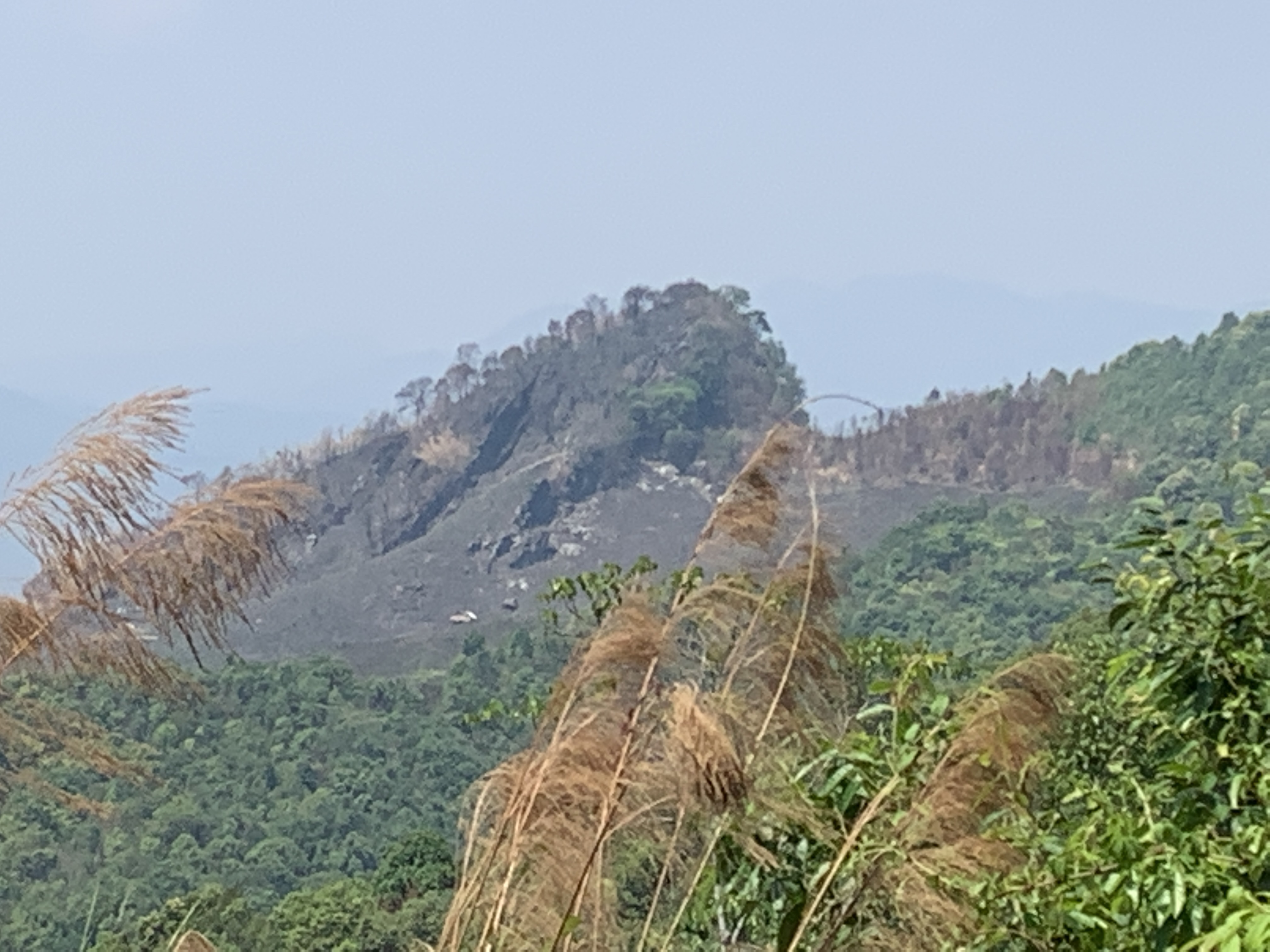
The park is named after the rugged Doi Phu Kha mountain (1,980 m high) located within the parks boundaries. It is part of the 260km (150 mile) long Luang Prabang Range. The mountains name in turn comes from a rare tree known as the Chompoo Phu Kha. This tree has pretty pink flowers.
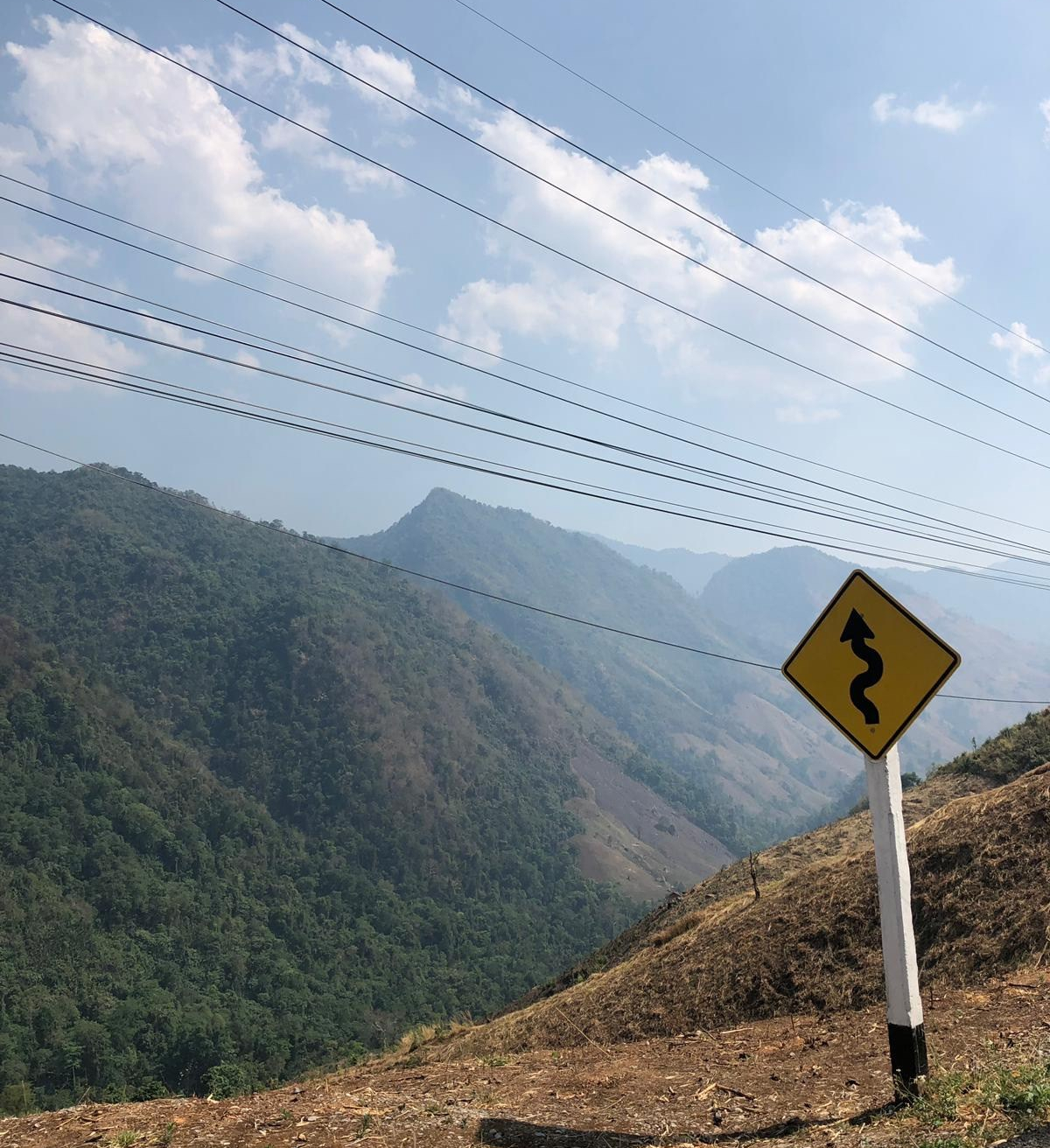
Laos is on the other side of those mountains. A few times my phone thought we had indeed reached that other country

Getting there and getting Around
We were almost 750 kilometres (455miles) from Bangkok, the national capital of Bangkok, almost two hours by winding road from Nan and almost seven hours by even more windy road from Chiang Mai. Nan has bus and air service from Bangkok and Chiang Mai has train, bus and air.
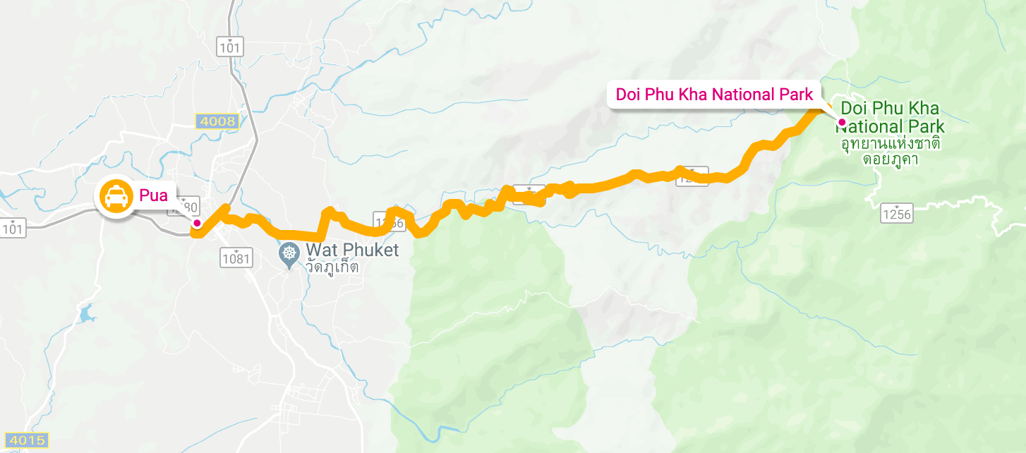
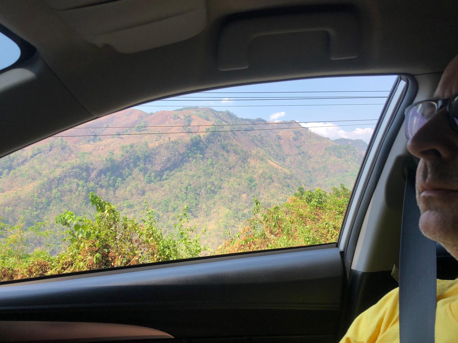
I drove. It was thoroughly enjoyable. Reminded me of The Blue Ridge Parkway in the USA or the Otago Peninsula in New Zealand
-
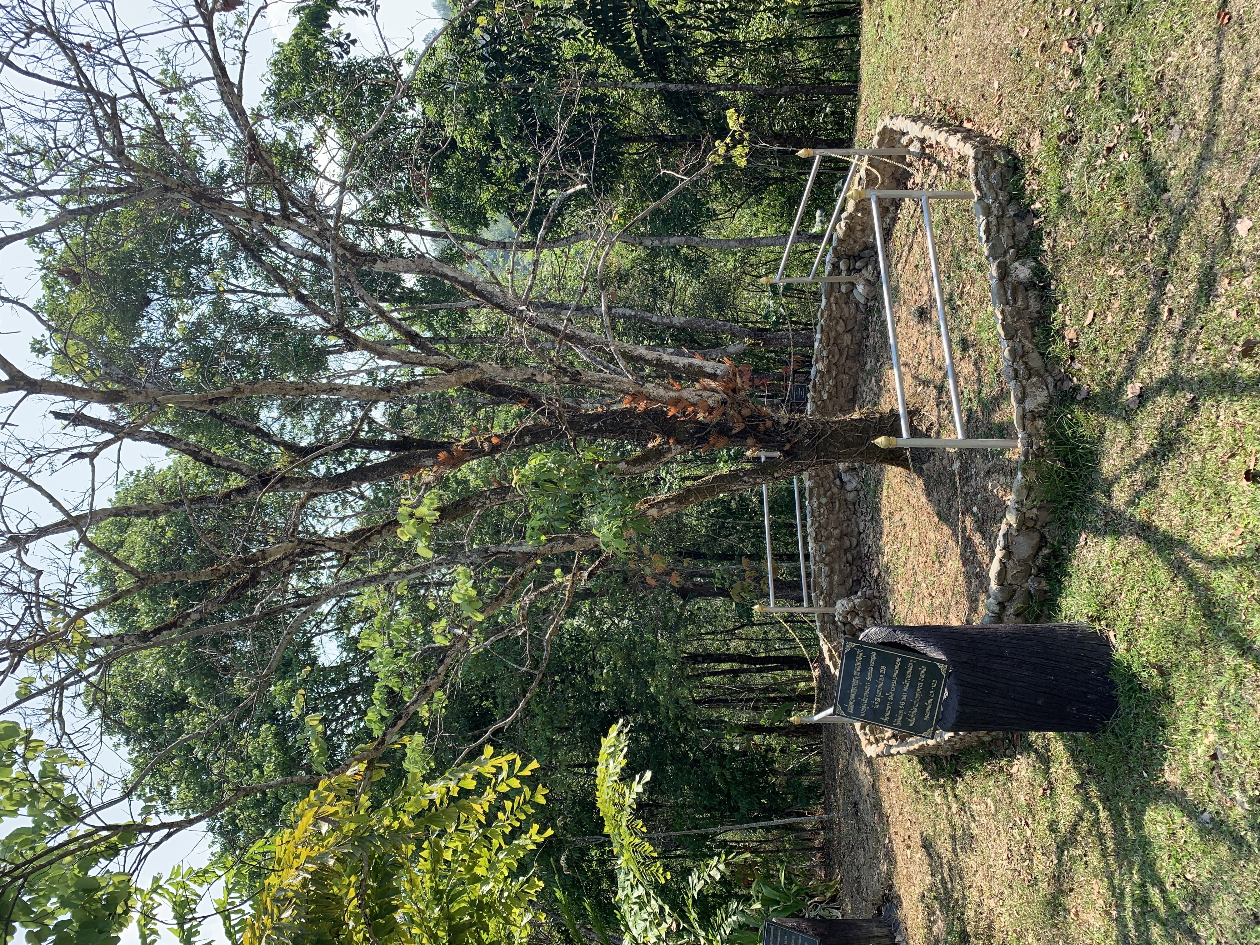
Tree planted by Her Royal Highness Princess Maha Chakri Sirindhorn
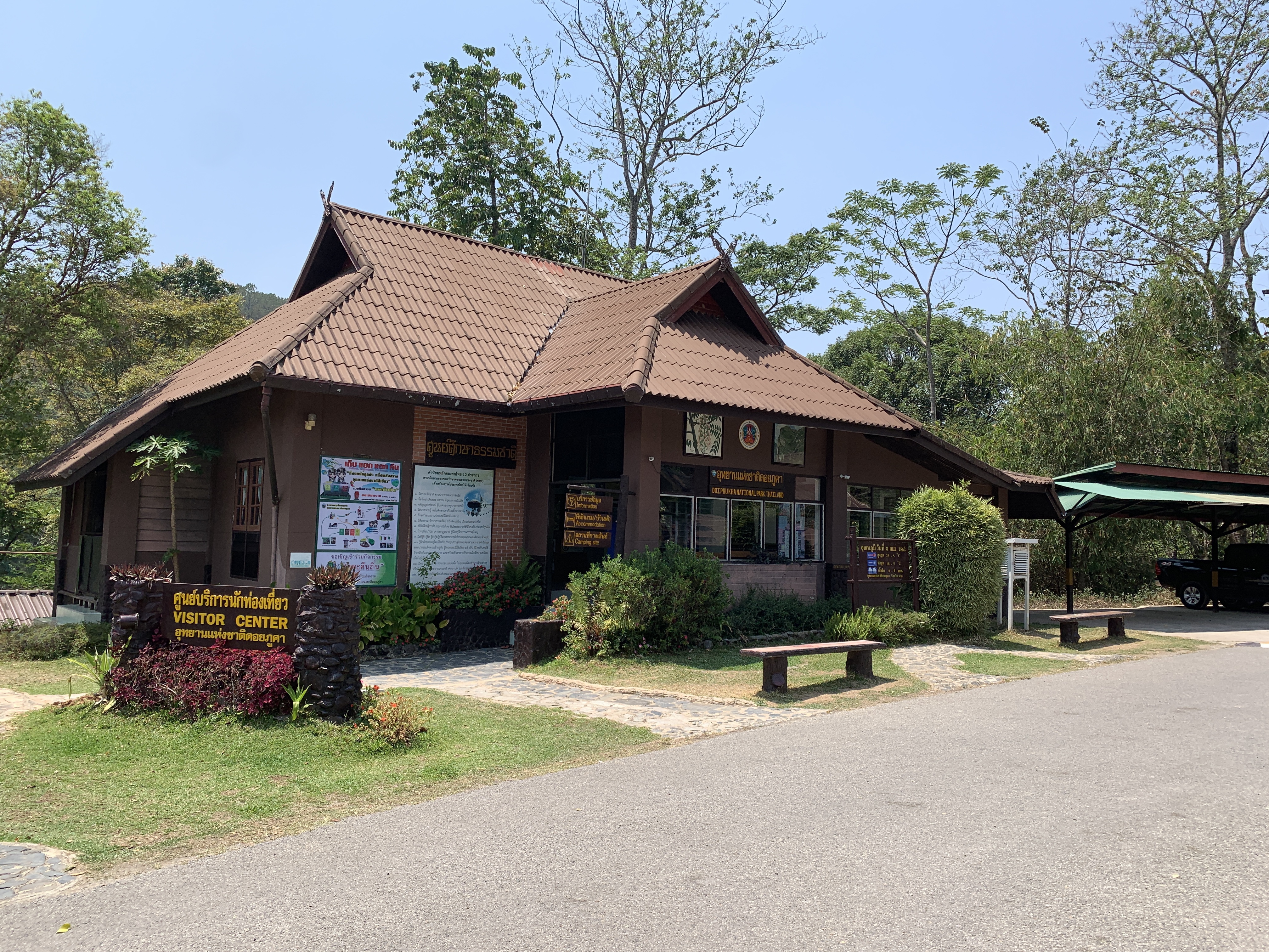
Exploring the Park
My Top sights:
- Bird Watching: You can find Red Junglefowl, Indian Roller, Striped Tit-Babbler (see video below) Sooty-headed Bulbul, Lineated Barbet, Red-billed Blue Magpie, Scarlet Minivet, Common Myna, Scally-breasted Munia, Trogon, Greater Coucal, Green-billed Malkoha and Yuhina. The air was rich with birdsong (Not my video but gives you an example of what we could hear)
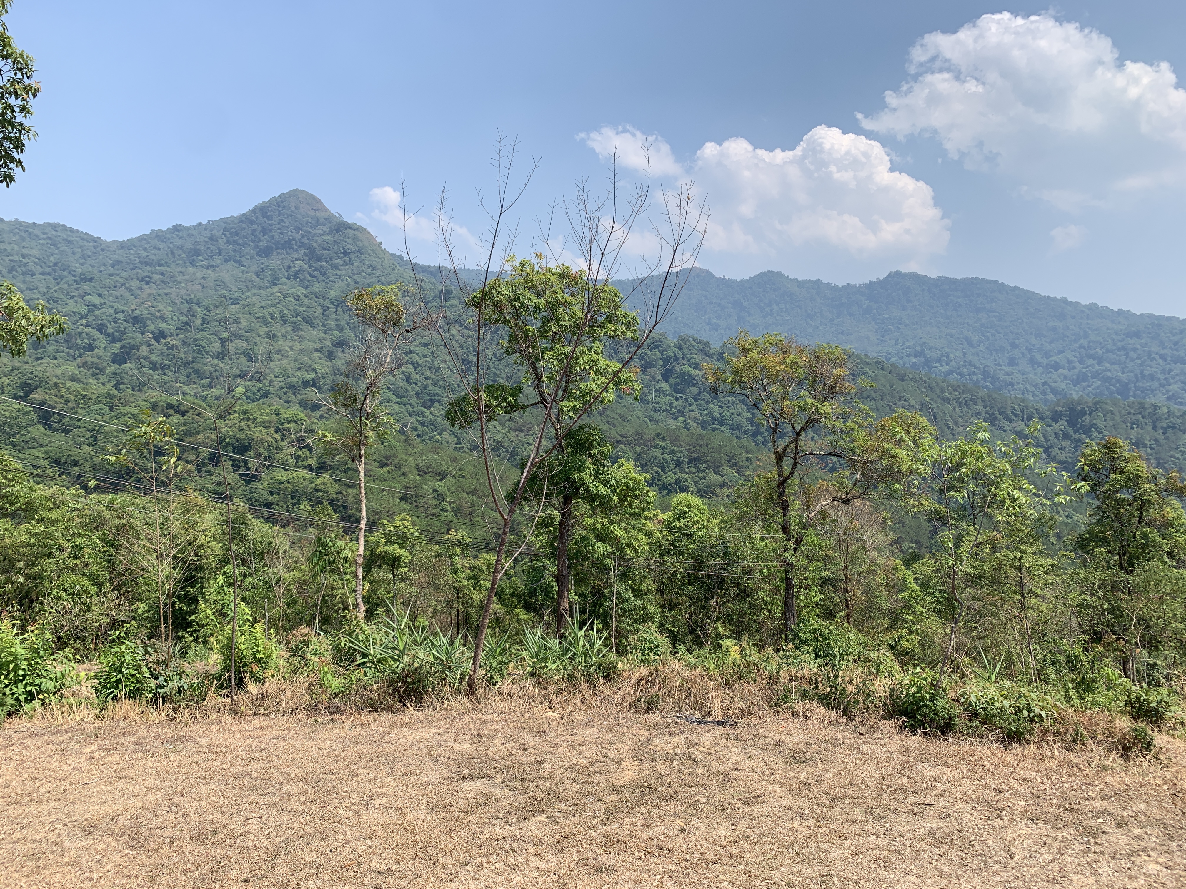
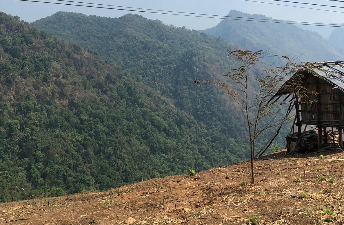
- Mountain view points: Fantastic scenery
Very popular with locals and Thai visitors, Silaphet is a place to swim, paddle, relax, socialise and eat
Few foreigners come to Silaphet. I received a lot of stares and shy smiles whilst visiting here
There is also Phufah waterfall which is the highest at about 140 meters high (equivalent of 12 floors), plus Fah Shee Nok waterfall and Mae charim Ton Tong waterfall. We did not have time to visit
- Caves: Many caves are found within the borders of Doi Phuka national park.
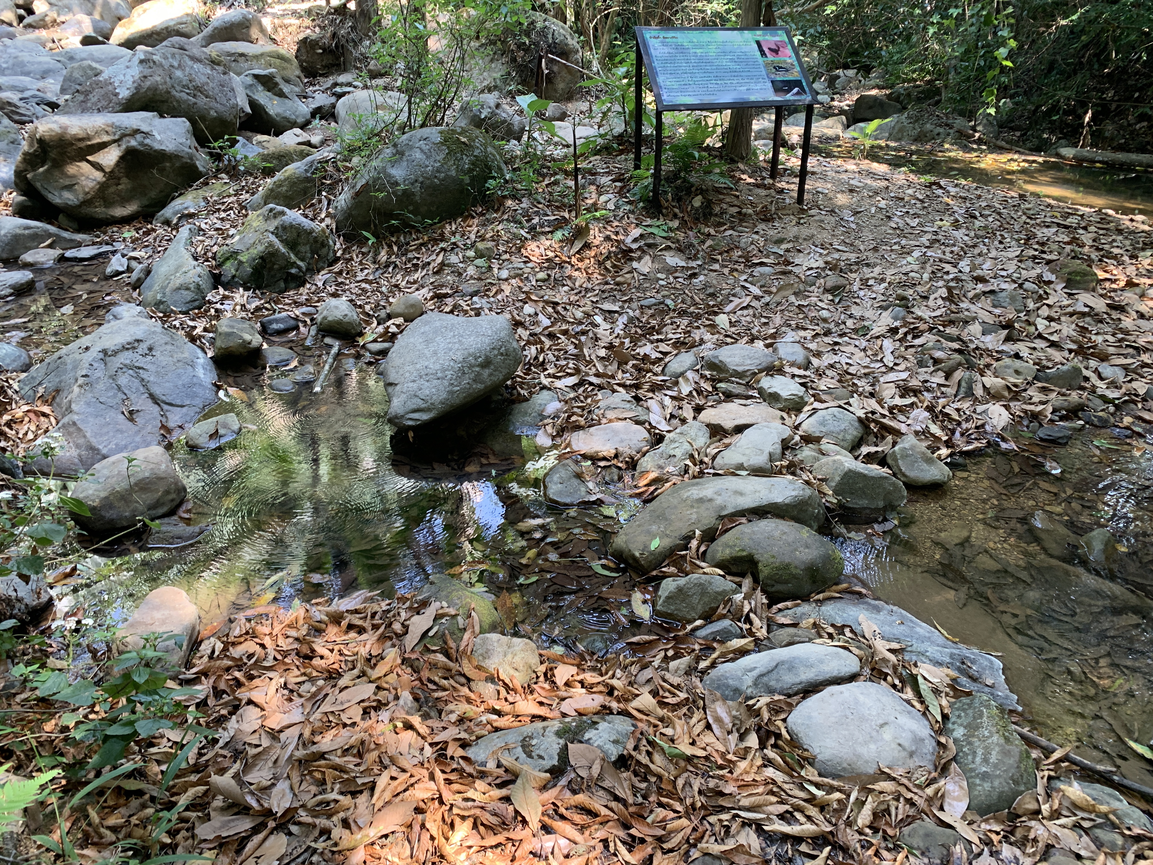
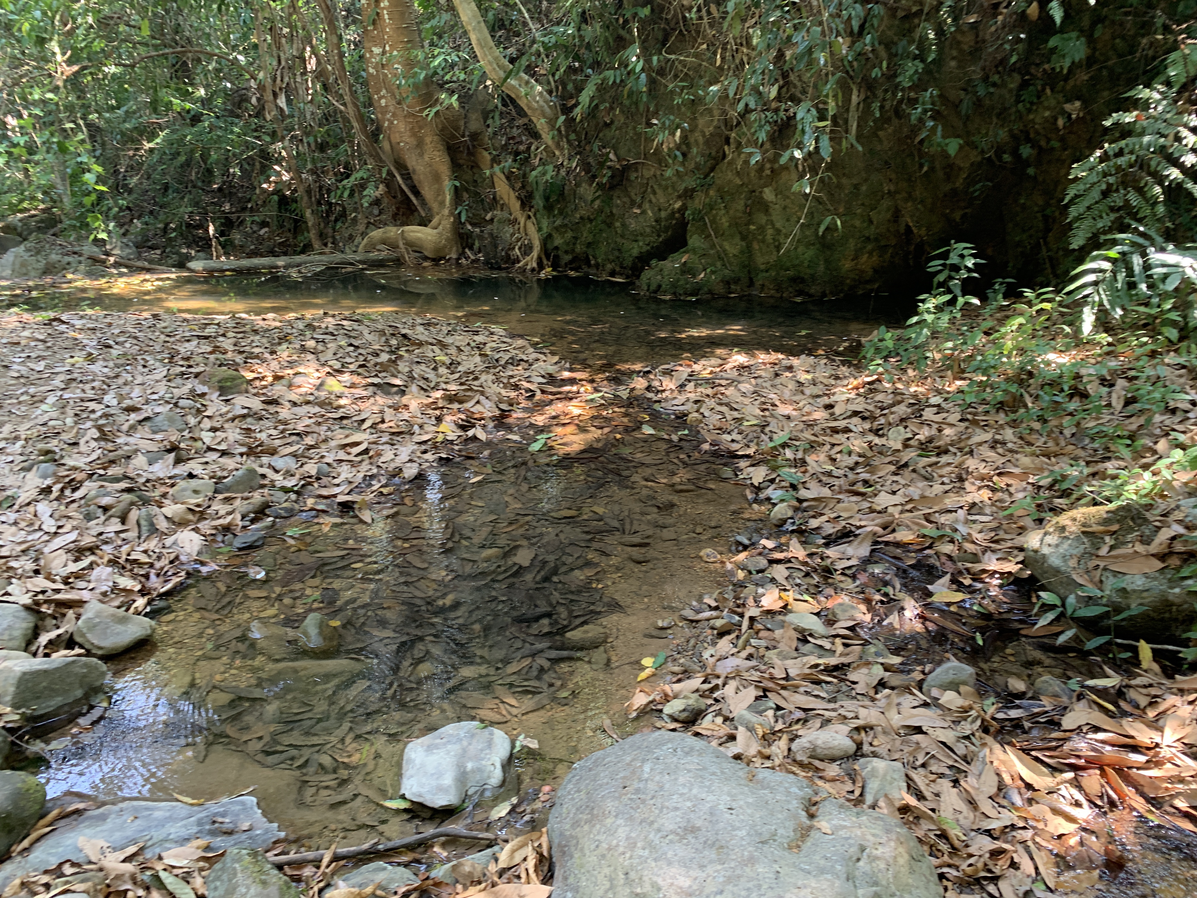
- Watercourses: One of the fascinating sights in the park are several peaceful watercourses which eventually flow into the Nan River.
The Nan river merges with the Ping river (which flows through Chiang Mai) at Nakhon Sawan and forms the Chao Phraya River System. Chao Phraya is the main river system of Thailand,which then flows south for 372 kilometres from the central plains through Bangkok to the Gulf of Thailand.
Amazing that this water flowing quietly in this unvisited part of a quiet national park will end up flowing through one of Asia’s;s busiest capitals.
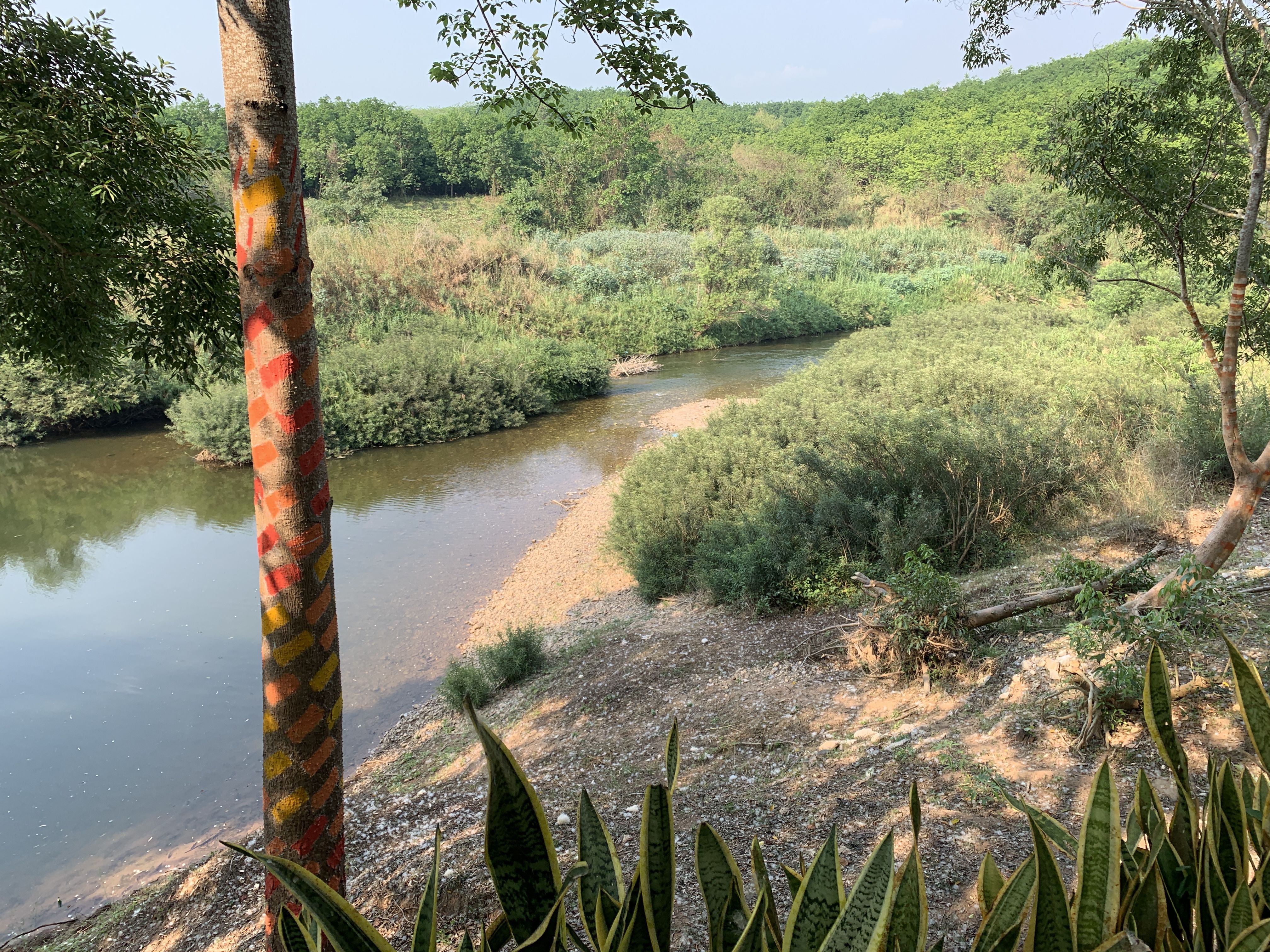
The Nan River, 25 km out of Nan City
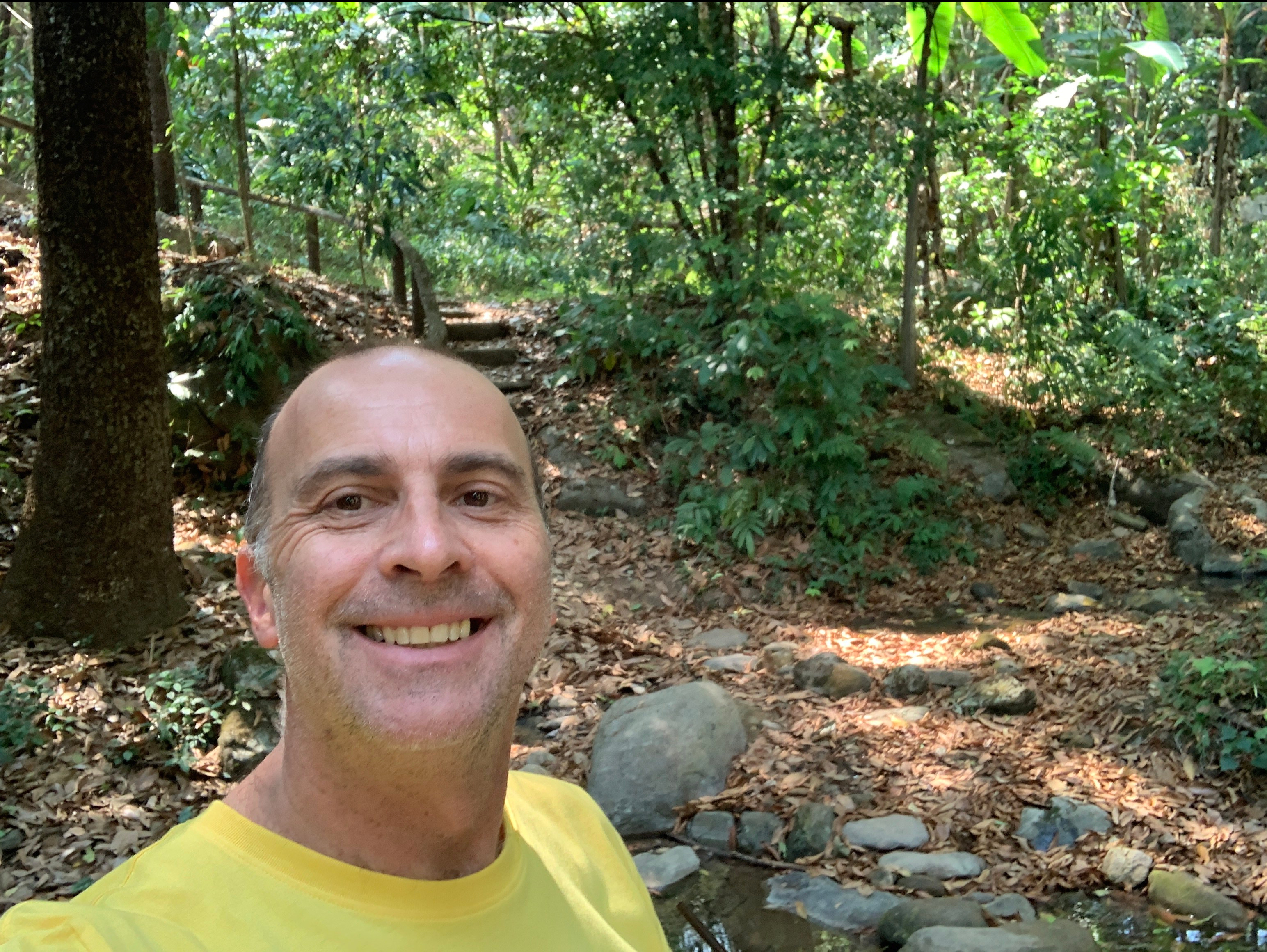
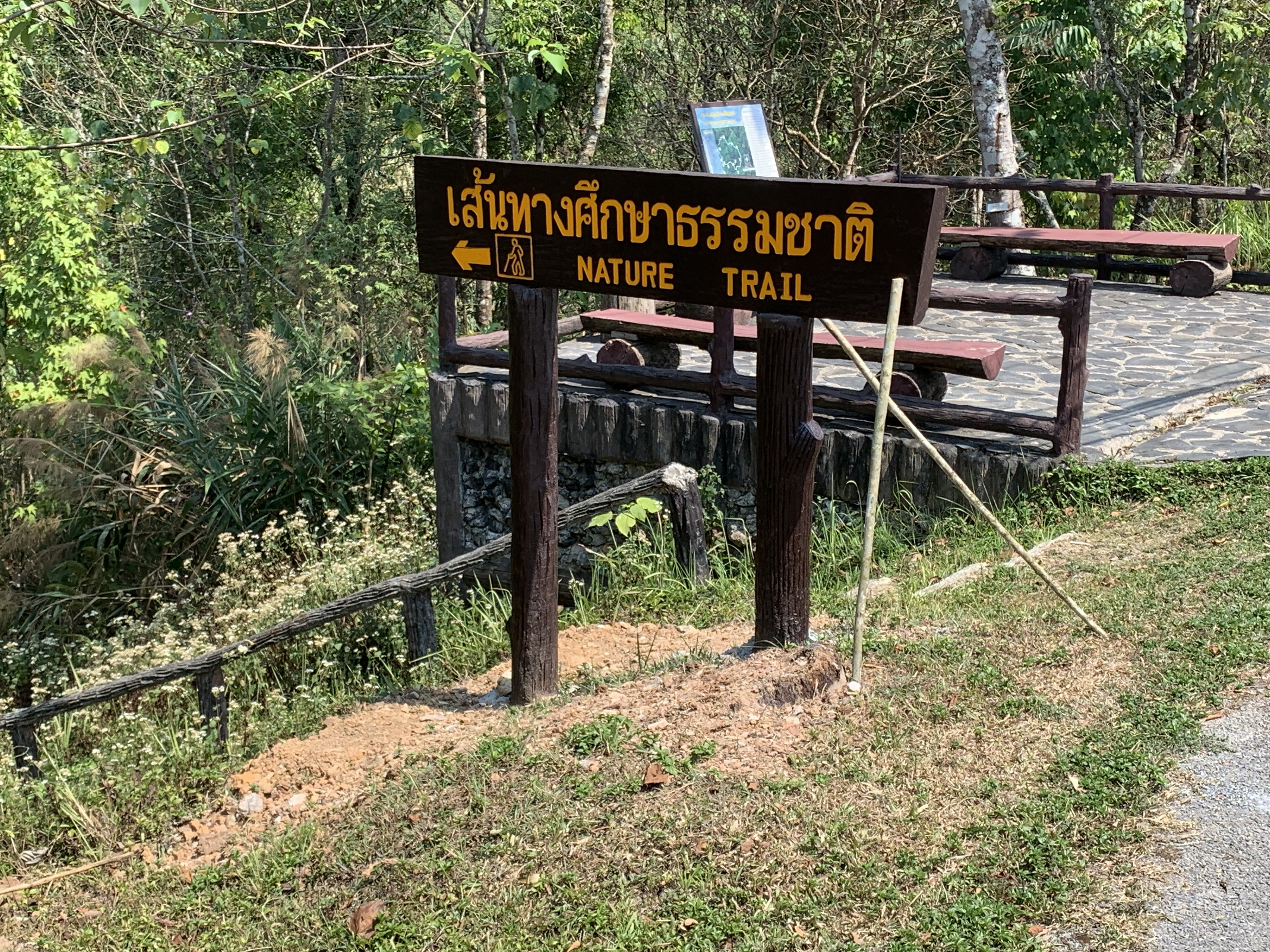
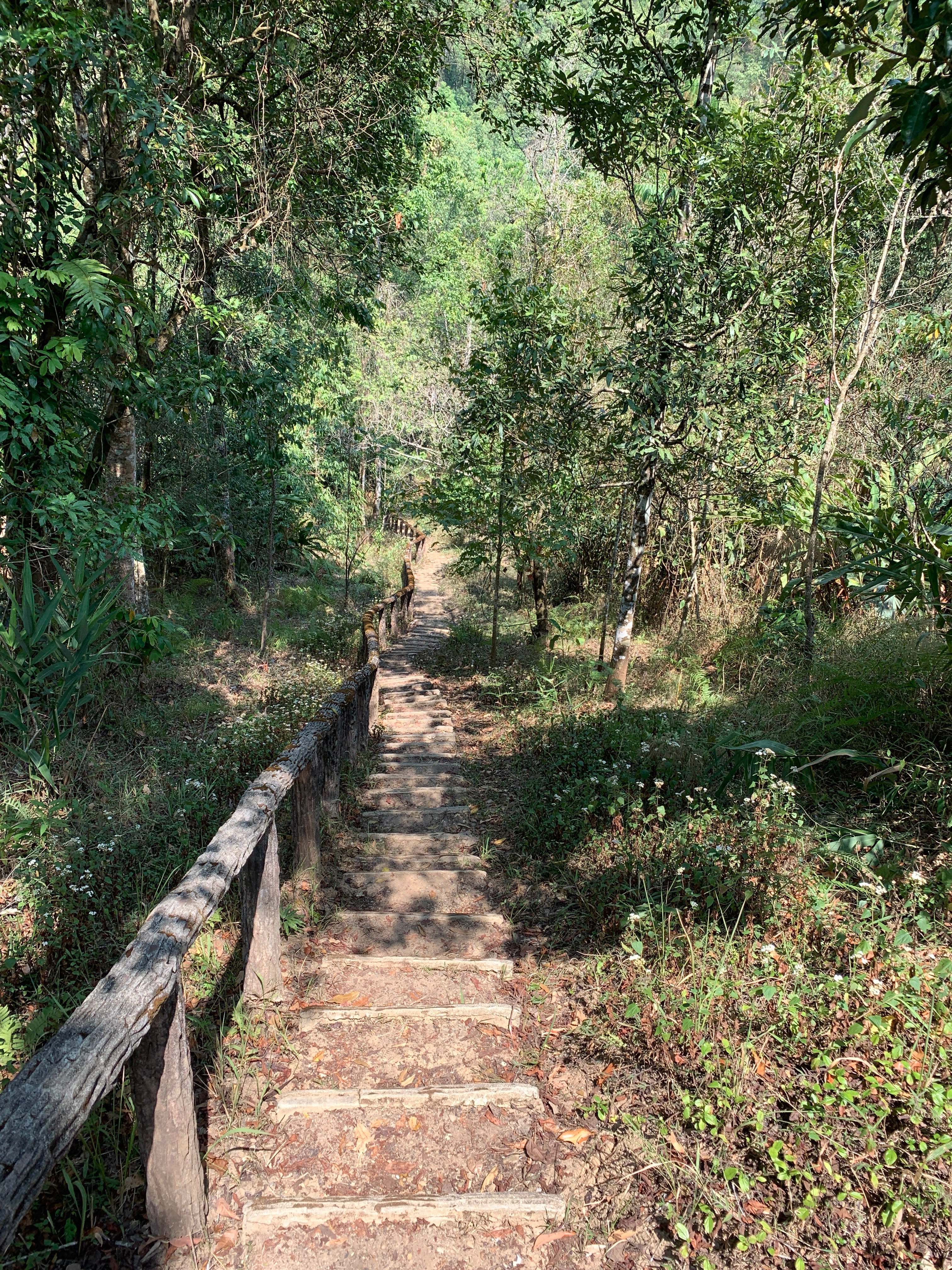
- Nature Trail: There is a 2km steep trail and a longer four hour circuit leaving from the visitors centre
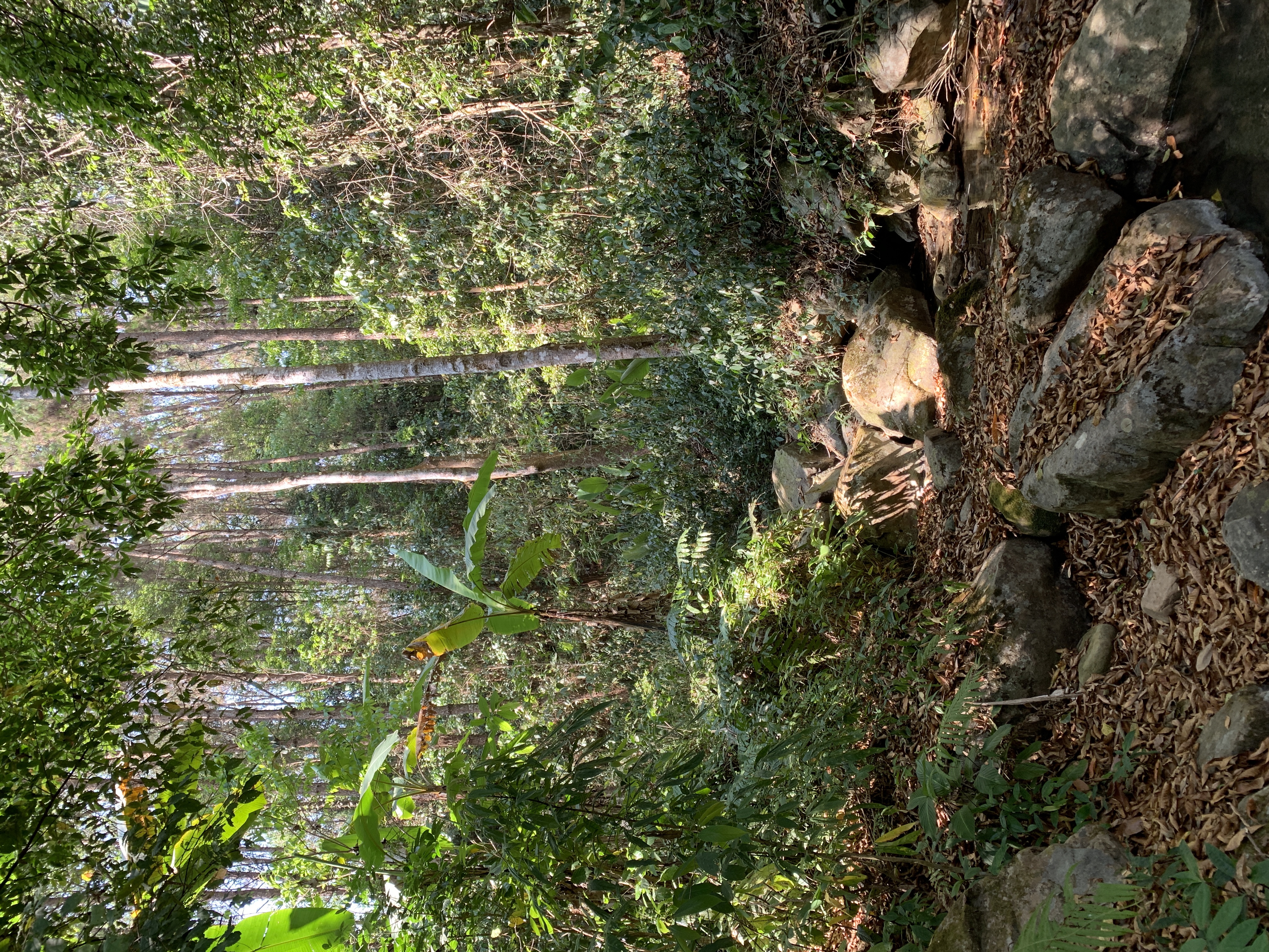
One of the most peaceful places in Thailand filled with calls and songs of birds
This will get your heart racing
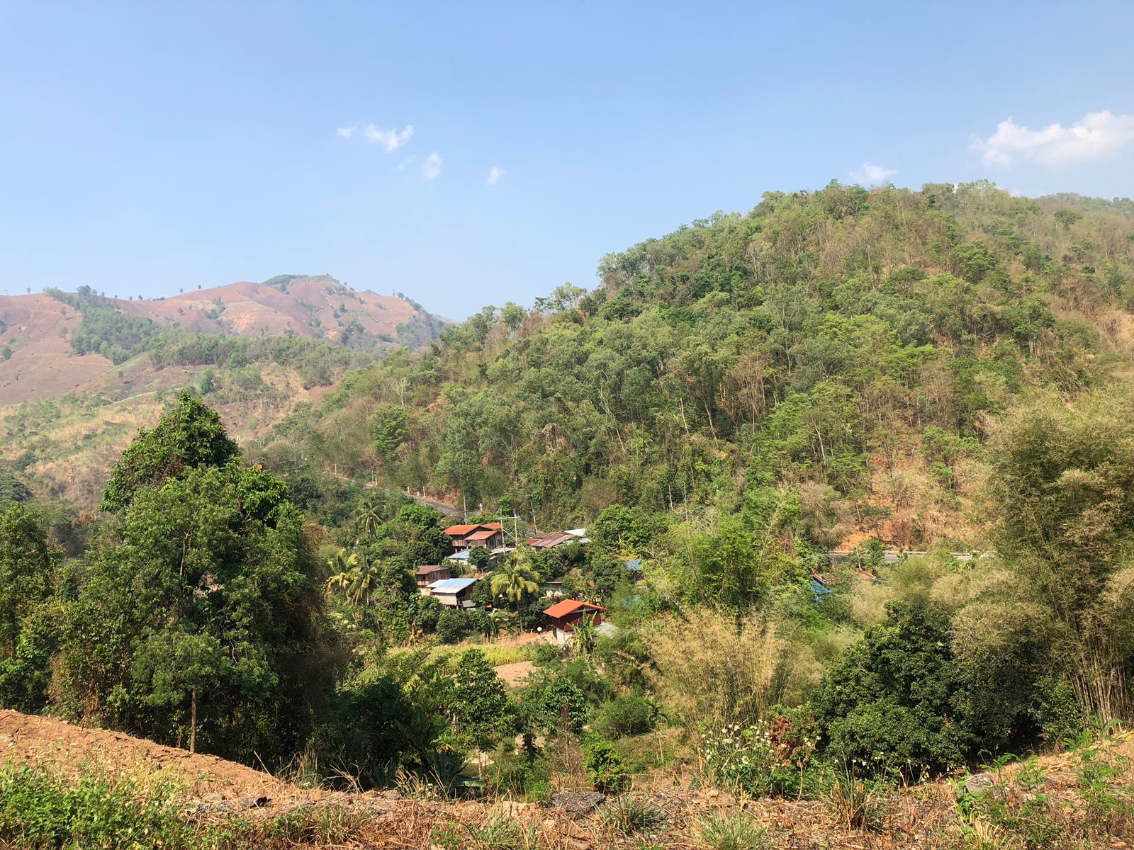
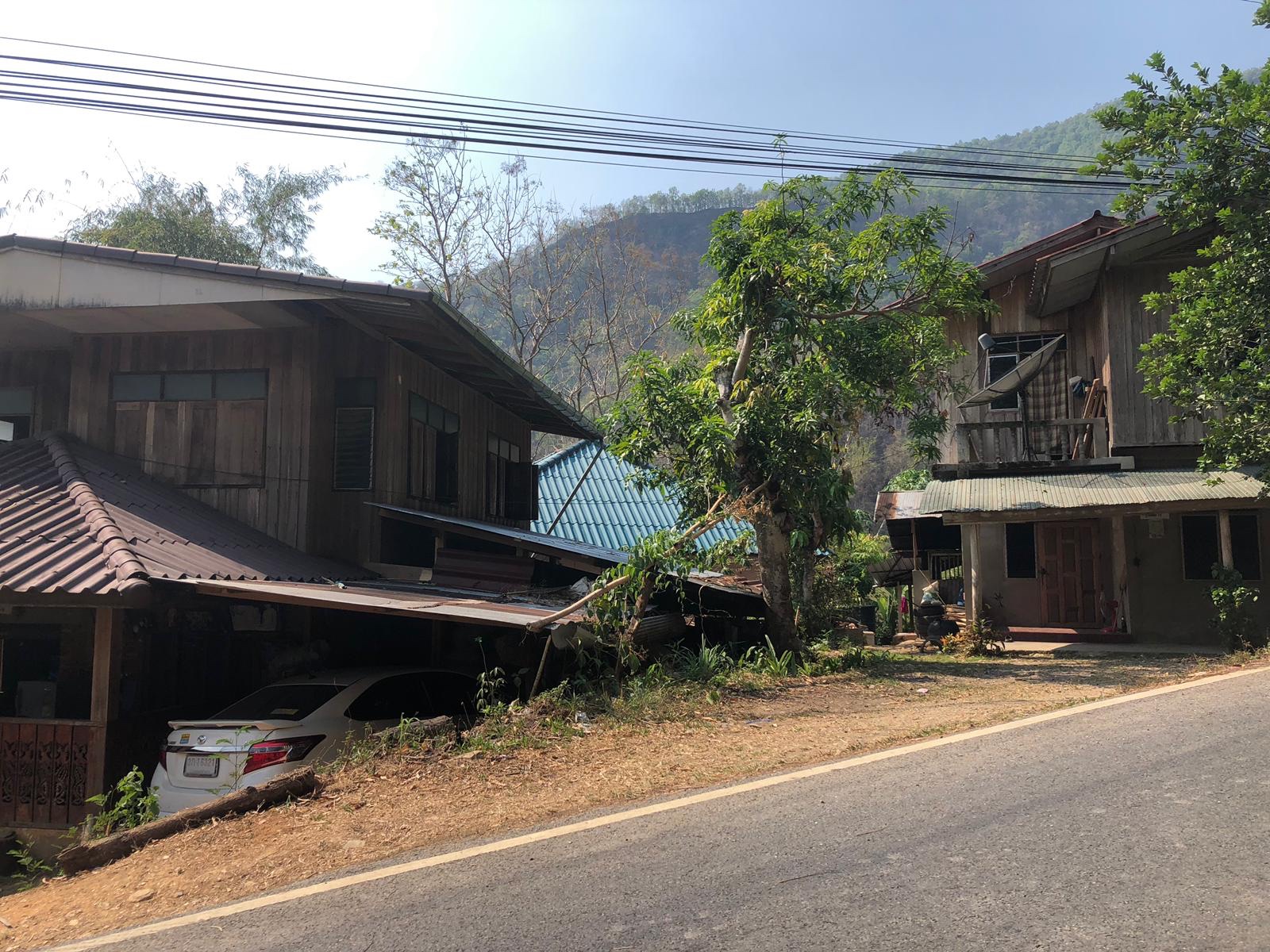
- Local Villages: a few people live in small villages adjacent to the park. For some, the Park was their hunting and farming area
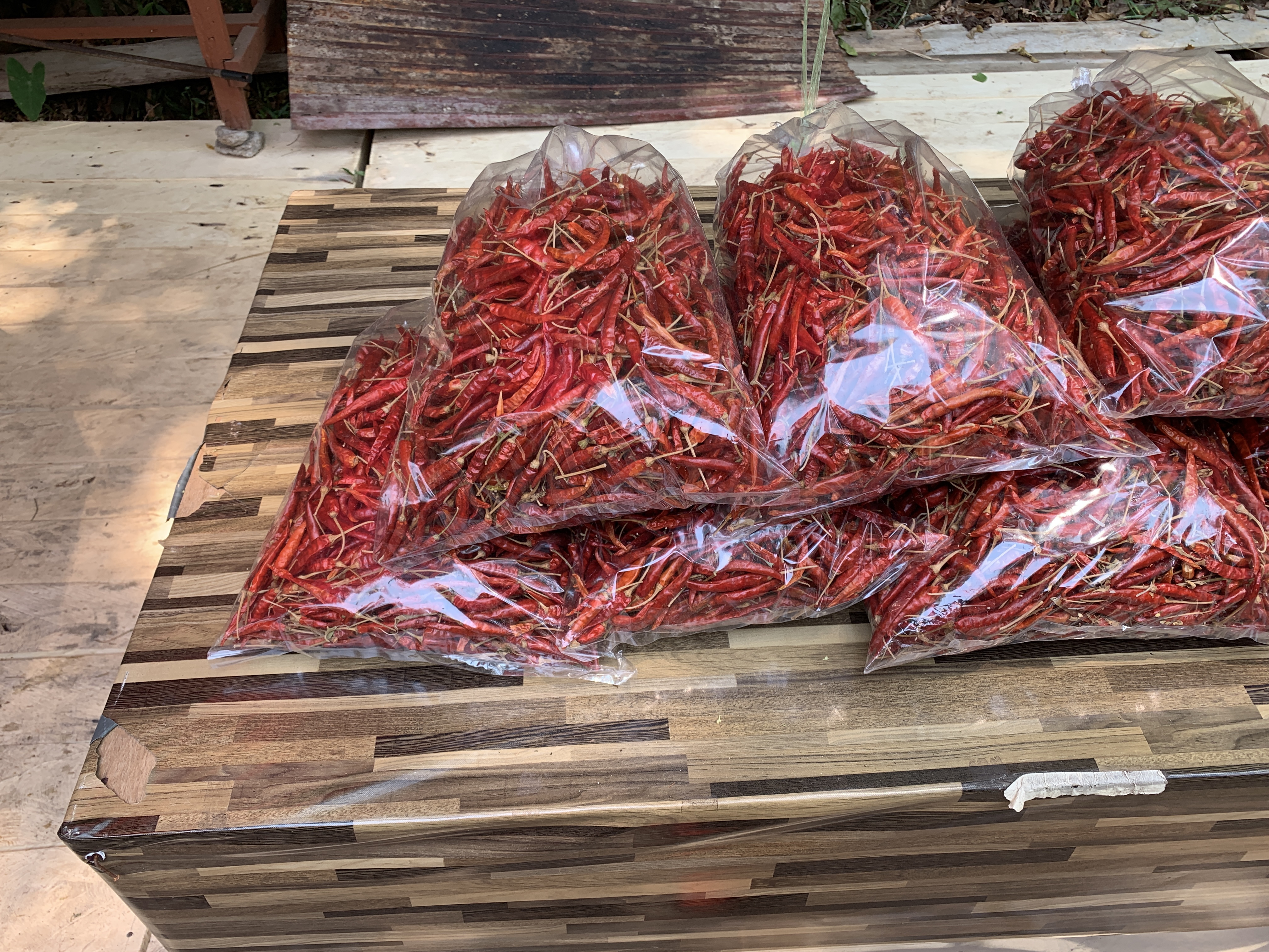
Local chilies for sale
- Pagoda of King Muni Sri Phu Kha
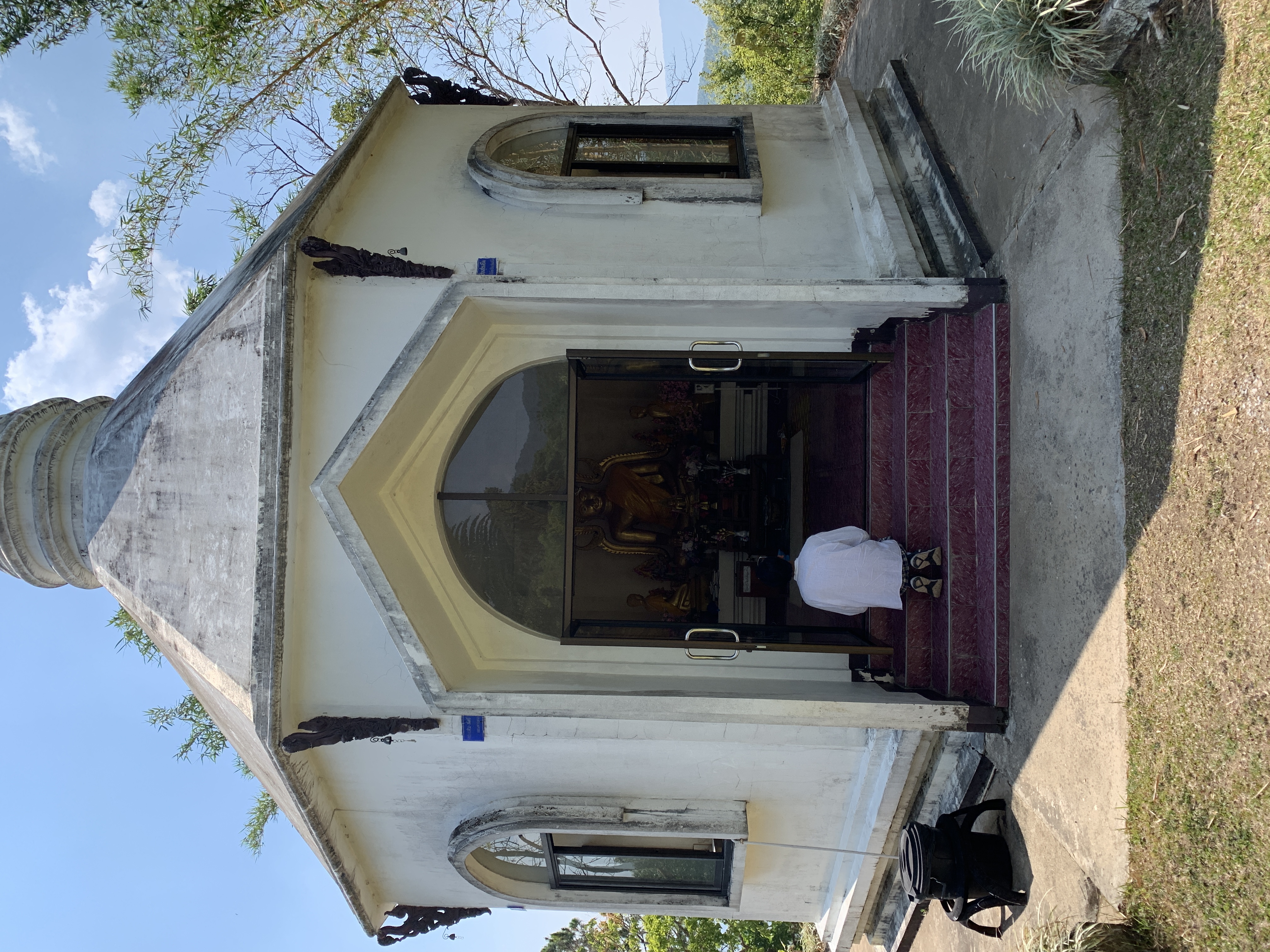
A place for visitors to pray
Vibe:
This is the place to slow down and connect deeply with nature. Tourists do not take many opportunities to do so and this is one worth taking.


Nice,. thanks for sharing
Some of your photos are upside down or sideways!
I have no idea why that was. Maybe I was so excited b y being up so high. My apologies. They showed right way up when I published it. I have re edited and re inserted them. Hopefully all good. Thanks for letting me know